An anthropological and geographical resource that may be of interest:
The atlas seems so far mostly limited to Nunavut and other parts of Northern Canada.
From the Introduction:
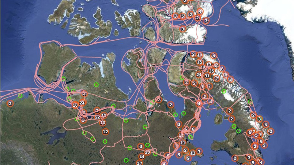
The Atlas provides a synoptic view (although certainly incomplete) of Inuit mobility and occupancy of Arctic waters, coasts and lands, including its icescapes, as documented in written historical records (maps of trails and place names).
The documents that form the foundation of this Atlas consist of both published and unpublished accounts of Inuit engagement with cartography during the 19th and 20th centuries. All documents are held in public libraries or archives. The focus of the Atlas in this initial project is on material from the Eastern and Central Canadian Arctic. It is hoped that the Atlas can be further developed in subsequent phases to present material of other Inuit groups such as the Inupiat, Inuvialuit, and peoples of Nunatsiavut (Labrador) and Nunavik.
Delineations of trails and place names play a critical role in documenting the Inuit spatial narratives about their homelands. To show where these trails lead and connect to other trails, the historical records used in making this Atlas are being relationally linked, referenced geospatially, and displayed on a base map.
 |
| Partial image of the atlas |
No comments:
Post a Comment
Please, be reasonably respectful when making comments. I do not tolerate in particular sexism, racism nor homophobia. Personal attacks, manipulation and trolling are also very much unwelcome here.The author reserves the right to delete any abusive comment.
Preliminary comment moderation is... ON (your comment may take some time, maybe days or weeks to appear).